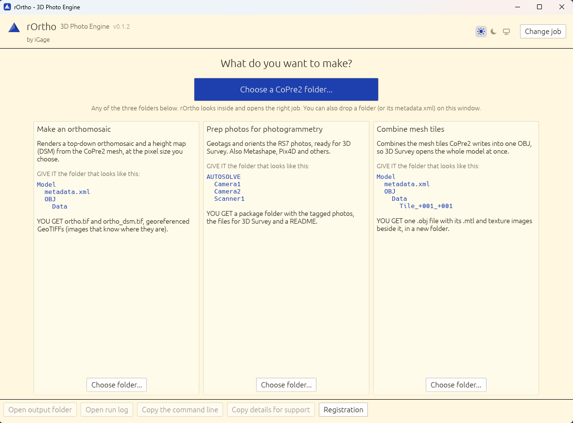
Make an orthomosaic
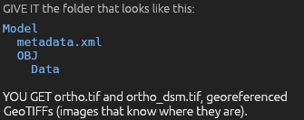
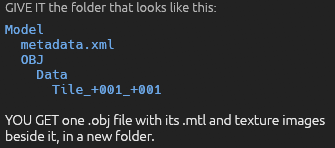
Renders a true orthophoto (every point seen from straight above, so walls and roof edges do not lean) and a height map (DSM) from the CoPre2 mesh, at the pixel size you choose, as GeoTIFFs in US survey feet or meters.
|
rOrtho videos
|
[ rOrtho
Overview Video ] [ Open in YouTube ] |
Deep dive and explanation video for rOrtho utility. | ||||||||||||
|