|
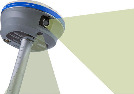
The i89
($7,990)
and i93 ($10,990)
[
Visual GNSS receivers ] change everything
about staking and storing points in the field!
Visual staking: with both forward and down facing
cameras, connected by high speed, 5G Wi-Fi; visual staking
targets update 25 times each second, visually indicating
the exact stake target point, updated with no delay.
Visual surveying: georeferenced 3D videos recorded
along a project's edge allow precise 3D point / object
picking in the field, or back at the office.
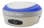
The purpose built [
iBase ]
($6,990)
is the perfect UHF Base companion for these ground breaking
receivers.
Everything is tied together
with
LandStar 8 2024 Edition
($490)
field software.
Complete Base + Rover + Field software:
$15,470
Complete Network Rover:
$8,480
|