Sample Data
[ AA450
& AU10 Sample Data Downloads ]
Sample Data Directory Structure
|_AA450_vs_AU10
|
|__AA450_vs_AU10_Data.pdf (summary of
measurements)
|
|___1-GNSS
|____LandStar8_Project (folder, .zip of LandStar8 project
for check data)
|____RINEX (folder, base static file for CoPre
post-processing)
|____AA450_vs_AU10_GCP_LST_SQ.pdf (least squares report
generated in LandStar for GCP)
|____AA450_vs_AU10_PCNEZ_USFT_GCP.csv (GCP shots)
|____AA450_vs_AU10_PCNEZ_USFT_TOPO.csv (75+ TOPO shots)
|____copre_coordinate_system.crd (used to select New
Mexico Central ftus GEOID18 in CoPre)
|
|___2-Raw (folder, labeled full raw folder, copied
from payload to PC)
|
|___3-Processing (folder, labeled CoPre projects
folders, and contains CoProcess files)
|
|___4-Deliverable (folder, example for each payload
and altitude)
|____SENSOR_ALTITUDE
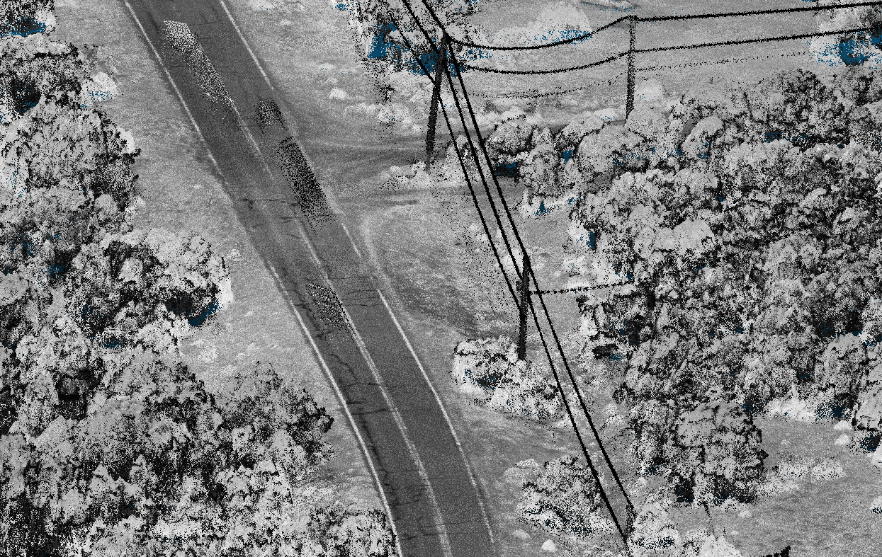
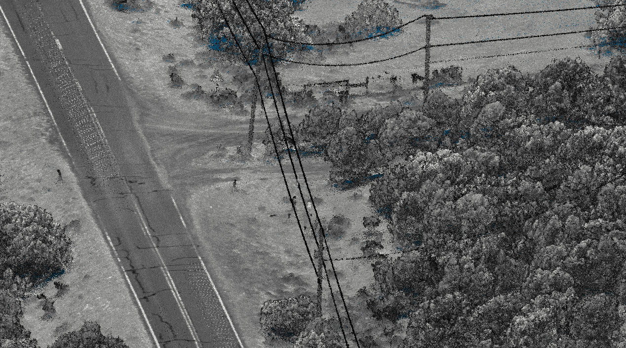
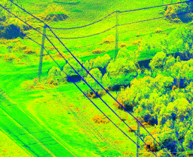
|______Point Cloud (.las)
|______DEM ground filtered surface (.tif)
|______Check_DEM results export compared to TOPO shots (.csv) |