|
Mark Silver has been in the survey+engineering software and hardware
business since 1998 when he wrote and marketed ‘All Topo Maps’, a
full-state digital compilation of USGS Topographic maps.
Under
Mark’s direction, iGage digitized all of the USGS topographic maps,
then hand snapped all of the rectangular survey section corners in
the USA for
the popular All Topo PLS <-> Geographic Coordinate conversion tool.
All Topo Maps was a huge success, selling over 120,000 copies.
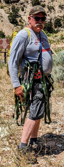
But Mark’s association with the survey world actually began long
before ‘All Topo Maps’. He had worked summers on BLM survey and fire
crews and he wrote the NorTrak down-hole survey MWD toolset as an
engineer for Hughes Christensen.
Trained as an Electrical Engineer at the University of Utah, Mark
is the only non-PLS licensed member of the Utah Valley University
Survey and Mapping Advisory Board and doubles his time by attempting
to recruit students everywhere he visits.
Over the decades, he has supported/marketed/sold Thales, Magellan
Professional, Ashtech, Spectra Precision, Spectra Geospatial, Javad,
GeoMax, CHC, Stonex, Carlson and iGage GNSS equipment and support
tools. In 2012 Mark designed the breakout success X90D-OPUS receiver
which propelled iGage overnight to being one of the largest
distributors of GNSS equipment in the USA.
For fun, Mark wrote and maintains the OPUS_Accumulator and
OPUS_Upload toolsets which are open source helper applications for
automating the submission and analysis of NGS OPUS solution reports.
He has around a quarter-million paper maps in his garage and is married with two children and two-grandchildren. He lives
in the middle of nowhere Utah on the Outlaw Trail, close to both
Colorado and Wyoming. |